Kitchener Street, Pontypool
Introduction
The photograph on this page of Kitchener Street, Pontypool by Jaggery as part of the Geograph project.
The Geograph project started in 2005 with the aim of publishing, organising and preserving representative images for every square kilometre of Great Britain, Ireland and the Isle of Man.

There are currently over 7.5m images from over 14,400 individuals and you can help contribute to the project by visiting https://www.geograph.org.uk
Kitchener Street, Pontypool
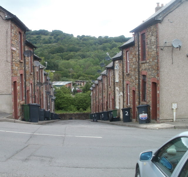
Image: © Jaggery Taken: 26 May 2011
A 40 metre long cul-de-sac descends from Plasycoed Road. This is one of two short cul-de-sacs side-by-side on the north side of Plasycoed Road. The other one is Buller Street. http://www.geograph.org.uk/photo/2441317
Images are licensed for reuse under creativecommons.org/licenses/by-sa/2.0
Image Location
Latitude
51.707403
Longitude
-3.065101