View SE from a path from Waunddu, Pontypool
Introduction
The photograph on this page of View SE from a path from Waunddu, Pontypool by Jaggery as part of the Geograph project.
The Geograph project started in 2005 with the aim of publishing, organising and preserving representative images for every square kilometre of Great Britain, Ireland and the Isle of Man.

There are currently over 7.5m images from over 14,400 individuals and you can help contribute to the project by visiting https://www.geograph.org.uk
View SE from a path from Waunddu, Pontypool
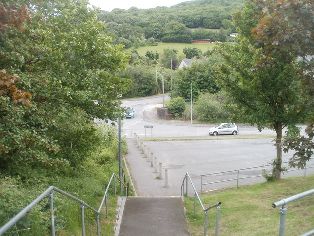
Image: © Jaggery Taken: 26 May 2011
The view SE from the top of steps http://www.geograph.org.uk/photo/2441234 at the edge of a path http://www.geograph.org.uk/photo/2441231 from Waunddu. The road in the middle distance, behind the car facing the camera, is Plasycoed Road.
Images are licensed for reuse under creativecommons.org/licenses/by-sa/2.0
Image Location
Latitude
51.708315
Longitude
-3.063675