Head of the Harbour
Introduction
The photograph on this page of Head of the Harbour by Anne Burgess as part of the Geograph project.
The Geograph project started in 2005 with the aim of publishing, organising and preserving representative images for every square kilometre of Great Britain, Ireland and the Isle of Man.

There are currently over 7.5m images from over 14,400 individuals and you can help contribute to the project by visiting https://www.geograph.org.uk
Head of the Harbour
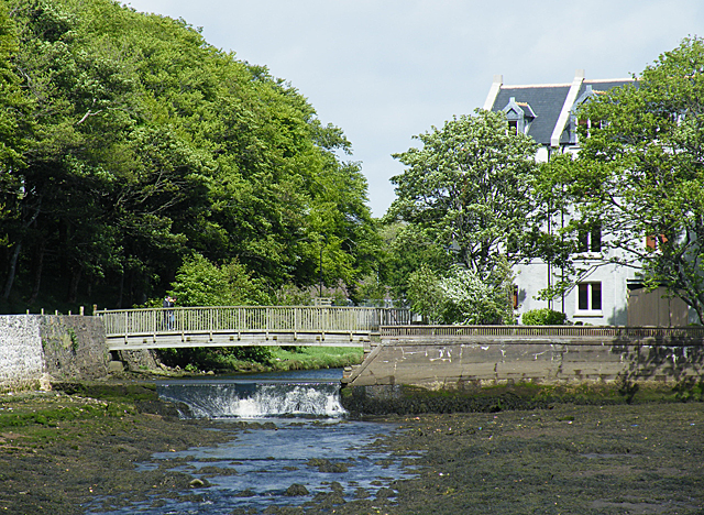
Image: © Anne Burgess Taken: 18 May 2011
Above the weir, where the river falls into the tidal waters of the inner harbour, is a footbridge giving access to the Lews Castle woods and parkland.
Images are licensed for reuse under creativecommons.org/licenses/by-sa/2.0
Image Location
Latitude
58.213003
Longitude
-6.388082