The Littleton Arms, Penkridge
Introduction
The photograph on this page of The Littleton Arms, Penkridge by Bill Boaden as part of the Geograph project.
The Geograph project started in 2005 with the aim of publishing, organising and preserving representative images for every square kilometre of Great Britain, Ireland and the Isle of Man.

There are currently over 7.5m images from over 14,400 individuals and you can help contribute to the project by visiting https://www.geograph.org.uk
The Littleton Arms, Penkridge
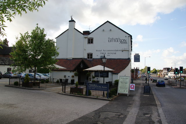
Image: © Bill Boaden Taken: 22 May 2011
This also gives a small view of the A449 passing through the centre of the village.
Images are licensed for reuse under creativecommons.org/licenses/by-sa/2.0
Image Location


Leaflet Map data © OpenStreetMap
Latitude
52.724849
Longitude
-2.116336