Side view of Llwyncelyn Road bridge, Porth
Introduction
The photograph on this page of Side view of Llwyncelyn Road bridge, Porth by Jaggery as part of the Geograph project.
The Geograph project started in 2005 with the aim of publishing, organising and preserving representative images for every square kilometre of Great Britain, Ireland and the Isle of Man.

There are currently over 7.5m images from over 14,400 individuals and you can help contribute to the project by visiting https://www.geograph.org.uk
Side view of Llwyncelyn Road bridge, Porth
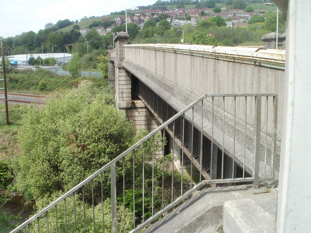
Image: © Jaggery Taken: 6 May 2011
The bridge http://www.geograph.org.uk/photo/2440590 crosses the River Rhondda, a tiny part of which is in the lower left corner of the view, and the double-track Rhondda Line, at the middle of the left edge.
Images are licensed for reuse under creativecommons.org/licenses/by-sa/2.0
Image Location
Latitude
51.609534
Longitude
-3.394964