Green beside Upper Brents
Introduction
The photograph on this page of Green beside Upper Brents by David Anstiss as part of the Geograph project.
The Geograph project started in 2005 with the aim of publishing, organising and preserving representative images for every square kilometre of Great Britain, Ireland and the Isle of Man.

There are currently over 7.5m images from over 14,400 individuals and you can help contribute to the project by visiting https://www.geograph.org.uk
Green beside Upper Brents
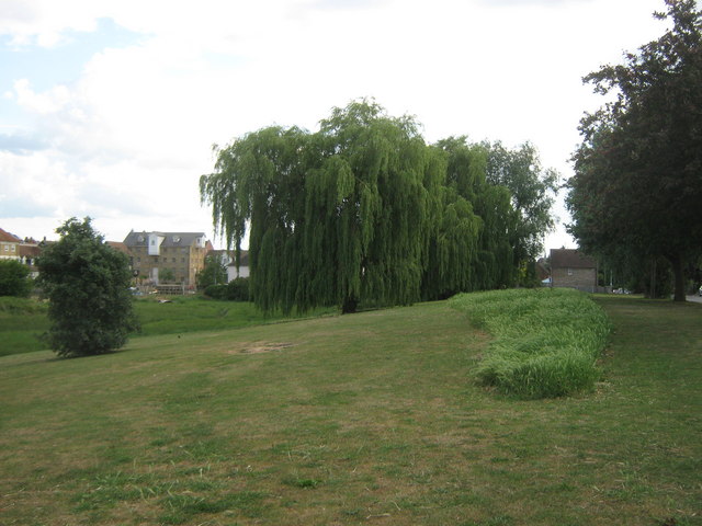
Image: © David Anstiss Taken: 31 May 2011
This large green area is beside Upper Brents (road and houses), on the right. It slopes down left towards the Faversham Creek. In the background is a converted warehouse on the river.
Images are licensed for reuse under creativecommons.org/licenses/by-sa/2.0
Image Location
Latitude
51.320626
Longitude
0.892826