Lustleigh: towards the church
Introduction
The photograph on this page of Lustleigh: towards the church by Martin Bodman as part of the Geograph project.
The Geograph project started in 2005 with the aim of publishing, organising and preserving representative images for every square kilometre of Great Britain, Ireland and the Isle of Man.

There are currently over 7.5m images from over 14,400 individuals and you can help contribute to the project by visiting https://www.geograph.org.uk
Lustleigh: towards the church
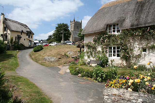
Image: © Martin Bodman Taken: 2 Jun 2011
With Primrose Cottage thatched tea rooms on the left. Seen from the path linking the village centre with the cricket field and Wreyland
Images are licensed for reuse under creativecommons.org/licenses/by-sa/2.0
Image Location
Latitude
50.618169
Longitude
-3.719246