Button Bridge Lane, Coppicegate
Introduction
The photograph on this page of Button Bridge Lane, Coppicegate by P L Chadwick as part of the Geograph project.
The Geograph project started in 2005 with the aim of publishing, organising and preserving representative images for every square kilometre of Great Britain, Ireland and the Isle of Man.

There are currently over 7.5m images from over 14,400 individuals and you can help contribute to the project by visiting https://www.geograph.org.uk
Button Bridge Lane, Coppicegate
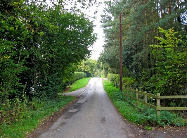
Image: © P L Chadwick Taken: 10 Oct 2010
Coppicegate is a small hamlet on the edge of the Wyre Forest. The nearest town is Bewdley, which is a few miles away.
Images are licensed for reuse under creativecommons.org/licenses/by-sa/2.0
Image Location
Latitude
52.418347
Longitude
-2.387542