Lowick: pinnacles and pots
Introduction
The photograph on this page of Lowick: pinnacles and pots by John Sutton as part of the Geograph project.
The Geograph project started in 2005 with the aim of publishing, organising and preserving representative images for every square kilometre of Great Britain, Ireland and the Isle of Man.

There are currently over 7.5m images from over 14,400 individuals and you can help contribute to the project by visiting https://www.geograph.org.uk
Lowick: pinnacles and pots
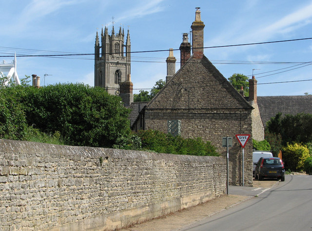
Image: © John Sutton Taken: 1 Jun 2011
Near the corner of Drayton Road and Mill Lane, with the tower of St Peter's Church in the distance. From the picturesque point of view, it's a pity about the electricity cables.
Images are licensed for reuse under creativecommons.org/licenses/by-sa/2.0
Image Location
Latitude
52.416932
Longitude
-0.565044