Bramcote Street, Belfast
Introduction
The photograph on this page of Bramcote Street, Belfast by Albert Bridge as part of the Geograph project.
The Geograph project started in 2005 with the aim of publishing, organising and preserving representative images for every square kilometre of Great Britain, Ireland and the Isle of Man.

There are currently over 7.5m images from over 14,400 individuals and you can help contribute to the project by visiting https://www.geograph.org.uk
Bramcote Street, Belfast
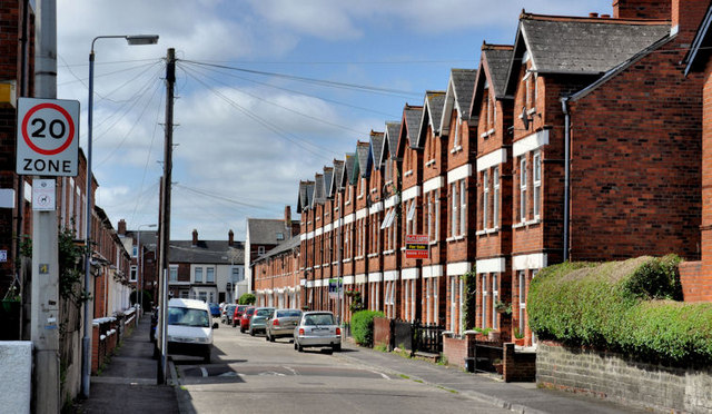
Image: © Albert Bridge Taken: 2 Jun 2011
A street, running from the Bloomfield Road to Grace Avenue Image (background), It was built over a number of years in the early 20th century although some of the odd-numbered houses are a bit later.
Images are licensed for reuse under creativecommons.org/licenses/by-sa/2.0
Image Location
Latitude
54.592599
Longitude
-5.885596