Holland Gardens, Belfast
Introduction
The photograph on this page of Holland Gardens, Belfast by Albert Bridge as part of the Geograph project.
The Geograph project started in 2005 with the aim of publishing, organising and preserving representative images for every square kilometre of Great Britain, Ireland and the Isle of Man.

There are currently over 7.5m images from over 14,400 individuals and you can help contribute to the project by visiting https://www.geograph.org.uk
Holland Gardens, Belfast
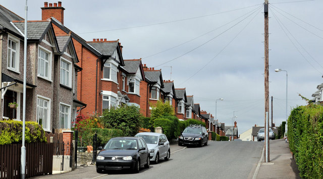
Image: © Albert Bridge Taken: 2 Jun 2011
Holland Gardens runs from Holland Drive to Kirkliston Gardens (behind me). This end, which is quite close to the Comber Greenway Image, lies in a dip. The street seems to have been built after WW1.
Images are licensed for reuse under creativecommons.org/licenses/by-sa/2.0
Image Location
Latitude
54.592507
Longitude
-5.870128