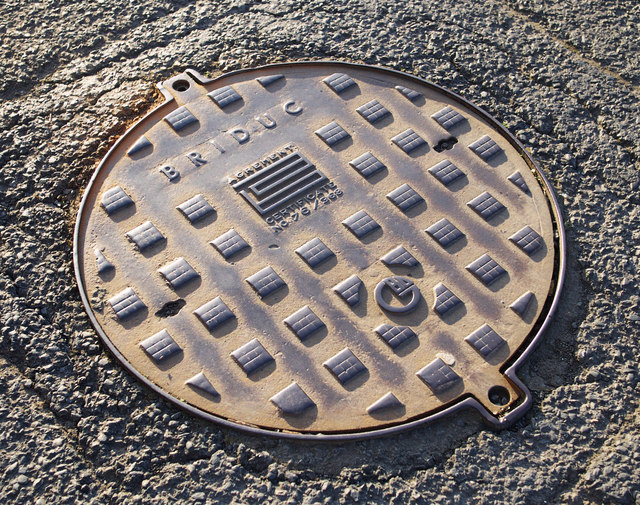
Manhole cover, Newtownards
Introduction
The photograph on this page of Manhole cover, Newtownards by Rossographer as part of the Geograph project.
The Geograph project started in 2005 with the aim of publishing, organising and preserving representative images for every square kilometre of Great Britain, Ireland and the Isle of Man.
There are currently over 7.5m images from over 14,400 individuals and you can help contribute to the project by visiting https://www.geograph.org.uk

Image: © Rossographer Taken: 1 Jun 2011
Manhole cover located on Mark Street in Newtownards. It is marked "Briduc". The following is adapted from a Highway Engineers magazine report found on the Chartered Institute of Highways and Transportation: "The Briduc was a lightweight cover made of ductile iron, but about four times as strong as the ordinary grey iron from which manhole covers are traditionally made. It was manufactured by Dunbro Ltd of Woolwich, London SE28, and introduced in 1973. It had a clear opening of 610mm diameter, which complied with safety recommendations for sewers. Although the opening was in excess of that normally specified for sewers in accordance with BS 497/67 the weight saving was dramatic, the cover weighing only 38 kg as against 140 kg for the normal cover weight of an ordinary 22" diameter roadway manhole cover. This weight saving allowed for easier transportation and cheaper site installation costs, safety in use, and a lower cost since less metal was used in its manufacture." (Many thanks to Nigel Cox http://www.geograph.org.uk/profile/2798 for the above). See also Image for a closer view.

