The London LOOP approaches Baber Bridge
Introduction
The photograph on this page of The London LOOP approaches Baber Bridge by Marathon as part of the Geograph project.
The Geograph project started in 2005 with the aim of publishing, organising and preserving representative images for every square kilometre of Great Britain, Ireland and the Isle of Man.

There are currently over 7.5m images from over 14,400 individuals and you can help contribute to the project by visiting https://www.geograph.org.uk
The London LOOP approaches Baber Bridge
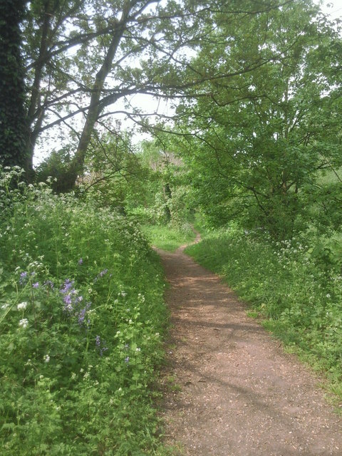
Image: © Marathon Taken: 20 Apr 2011
The London LOOP follows the River Crane for some considerable distance from Hounslow Heath to the Grand Union Canal at Southall. This is approaching Baber Bridge which carries Staines Road over the river.
Images are licensed for reuse under creativecommons.org/licenses/by-sa/2.0
Image Location
Latitude
51.457762
Longitude
-0.401291