Floodgate Brook
Introduction
The photograph on this page of Floodgate Brook by Simon Carey as part of the Geograph project.
The Geograph project started in 2005 with the aim of publishing, organising and preserving representative images for every square kilometre of Great Britain, Ireland and the Isle of Man.

There are currently over 7.5m images from over 14,400 individuals and you can help contribute to the project by visiting https://www.geograph.org.uk
Floodgate Brook
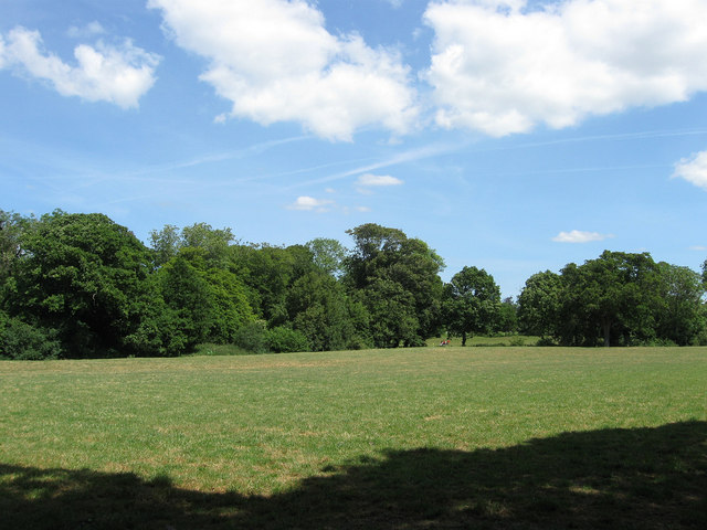
Image: © Simon Carey Taken: 1 Jun 2011
The name of the field according to Arlington's 1843 tithe map that lies on the eastern bank of the Cuckmere River north of Michelham Priory Road. Beyond are the grounds of Michelham Priory
Images are licensed for reuse under creativecommons.org/licenses/by-sa/2.0
Image Location


Leaflet Map data © OpenStreetMap
Latitude
50.861006
Longitude
0.210273