Henties, Coldharbour Road
Introduction
The photograph on this page of Henties, Coldharbour Road by Simon Carey as part of the Geograph project.
The Geograph project started in 2005 with the aim of publishing, organising and preserving representative images for every square kilometre of Great Britain, Ireland and the Isle of Man.

There are currently over 7.5m images from over 14,400 individuals and you can help contribute to the project by visiting https://www.geograph.org.uk
Henties, Coldharbour Road
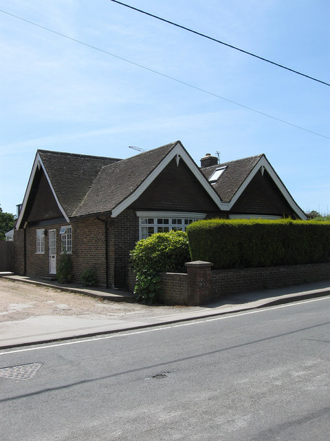
Image: © Simon Carey Taken: 1 Jun 2011
Originally the village bakehouse from the 1860s which became a general stores until closure in 1980. The house is named after a couple who owned the latter. Now a private residence.
Images are licensed for reuse under creativecommons.org/licenses/by-sa/2.0
Image Location
Latitude
50.867144
Longitude
0.20431