Site of demolished Trevethin Community School, Pontypool
Introduction
The photograph on this page of Site of demolished Trevethin Community School, Pontypool by Jaggery as part of the Geograph project.
The Geograph project started in 2005 with the aim of publishing, organising and preserving representative images for every square kilometre of Great Britain, Ireland and the Isle of Man.

There are currently over 7.5m images from over 14,400 individuals and you can help contribute to the project by visiting https://www.geograph.org.uk
Site of demolished Trevethin Community School, Pontypool
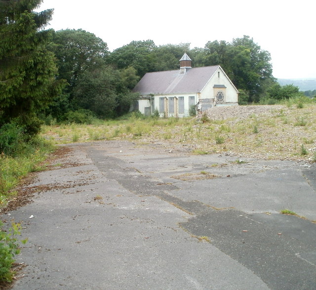
Image: © Jaggery Taken: 1 Jun 2011
One derelict building remains on the site of the demolished school on the west side of Penygarn Road. The school closed in 2007 despite local protests which included hundreds of people marching through Pontypool town centre, and the lobbying of Torfaen County Borough Council and National Assembly for Wales in Cardiff.
Images are licensed for reuse under creativecommons.org/licenses/by-sa/2.0
Image Location
Latitude
51.706763
Longitude
-3.036142