Cycle and pedestrian route
Introduction
The photograph on this page of Cycle and pedestrian route by Nikki Mahadevan as part of the Geograph project.
The Geograph project started in 2005 with the aim of publishing, organising and preserving representative images for every square kilometre of Great Britain, Ireland and the Isle of Man.

There are currently over 7.5m images from over 14,400 individuals and you can help contribute to the project by visiting https://www.geograph.org.uk
Cycle and pedestrian route
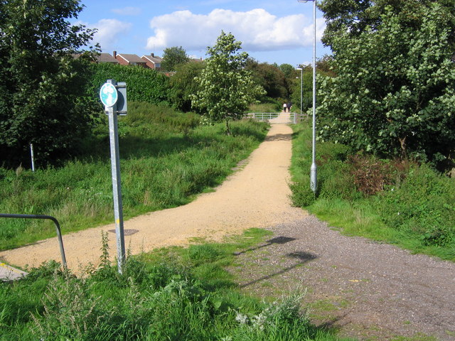
Image: © Nikki Mahadevan Taken: 19 Sep 2006
This path is part of Sutton-in-Asfield's sustainable cycle and pedestrian route to work scheme. The path follows the track bed of an old colliery railway to join the Teversal Trails north of Skegby.
Images are licensed for reuse under creativecommons.org/licenses/by-sa/2.0
Image Location
Latitude
53.131271
Longitude
-1.261633