Y Gaer, Brecon Roman fort, part of the east gate
Introduction
The photograph on this page of Y Gaer, Brecon Roman fort, part of the east gate by Jeremy Bolwell as part of the Geograph project.
The Geograph project started in 2005 with the aim of publishing, organising and preserving representative images for every square kilometre of Great Britain, Ireland and the Isle of Man.

There are currently over 7.5m images from over 14,400 individuals and you can help contribute to the project by visiting https://www.geograph.org.uk
Y Gaer, Brecon Roman fort, part of the east gate
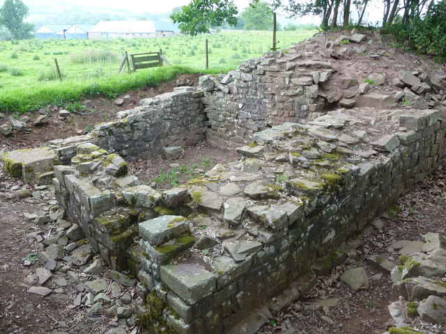
Image: © Jeremy Bolwell Taken: 1 Jun 2011
This gatehouse was one of two controlling the east gate. It has been exposed by Cadw and some sort of work seems in progress, as indicated by lack of turf etc on the site here.
Images are licensed for reuse under creativecommons.org/licenses/by-sa/2.0
Image Location
Latitude
51.956122
Longitude
-3.450376