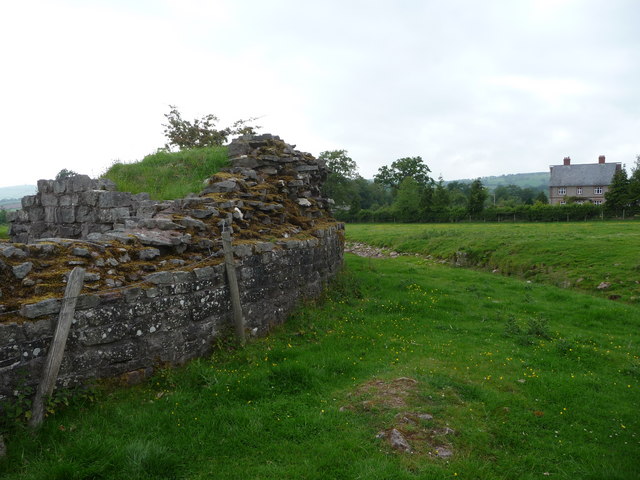
Y Gaer, Brecon Roman fort (north east corner)
Introduction
The photograph on this page of Y Gaer, Brecon Roman fort (north east corner) by Jeremy Bolwell as part of the Geograph project.
The Geograph project started in 2005 with the aim of publishing, organising and preserving representative images for every square kilometre of Great Britain, Ireland and the Isle of Man.
There are currently over 7.5m images from over 14,400 individuals and you can help contribute to the project by visiting https://www.geograph.org.uk

Image: © Jeremy Bolwell Taken: 1 Jun 2011
The curve on the corner can be clearly seen. The fort was initially established around 75 AD in typical 'playing card' shape but made of basic clay banks topped with a wooden palisade, later replaced with the stone walls seen here after maybe 100 AD or so. Today the site is in the stewardship of Cadw.

