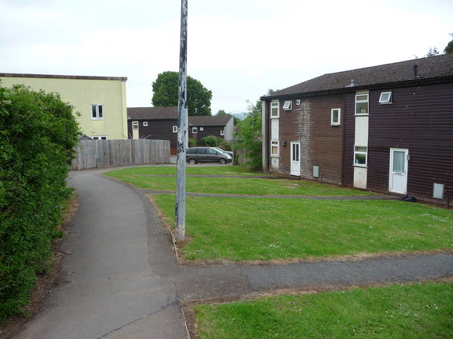
Housing estate on the north west side of Brecon
Introduction
The photograph on this page of Housing estate on the north west side of Brecon by Jeremy Bolwell as part of the Geograph project.
The Geograph project started in 2005 with the aim of publishing, organising and preserving representative images for every square kilometre of Great Britain, Ireland and the Isle of Man.
There are currently over 7.5m images from over 14,400 individuals and you can help contribute to the project by visiting https://www.geograph.org.uk

Image: © Jeremy Bolwell Taken: 1 Jun 2011
One of those estates where all the houses look the same and it is easy to get lost, the house numbers make no sense and you can't find any street name signs, where little thought has been given to residents privacy, growing car usage or the needs of the young (no open space or park) or the old (too many steps, slopes and changes in ground levels). Architects of the 1960's, you should be brought to book.

