Community of Christ church, Carsic Estate
Introduction
The photograph on this page of Community of Christ church, Carsic Estate by Nikki Mahadevan as part of the Geograph project.
The Geograph project started in 2005 with the aim of publishing, organising and preserving representative images for every square kilometre of Great Britain, Ireland and the Isle of Man.

There are currently over 7.5m images from over 14,400 individuals and you can help contribute to the project by visiting https://www.geograph.org.uk
Community of Christ church, Carsic Estate
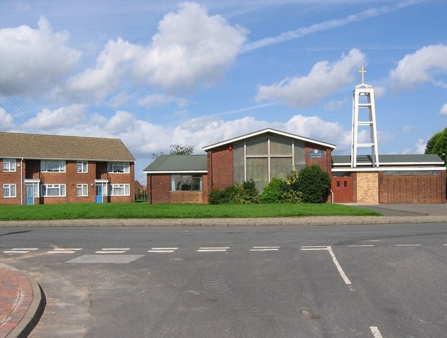
Image: © Nikki Mahadevan Taken: 19 Sep 2006
The Church is situated on the Carsic Estate, in an area known as the Oval. So called because the road in front of the church forms an oval around an area of housing, playing fields and shops.
Images are licensed for reuse under creativecommons.org/licenses/by-sa/2.0
Image Location
Latitude
53.130446
Longitude
-1.273604