Alexandra Road, Ashton-under-Lyne
Introduction
The photograph on this page of Alexandra Road, Ashton-under-Lyne by Steven Haslington as part of the Geograph project.
The Geograph project started in 2005 with the aim of publishing, organising and preserving representative images for every square kilometre of Great Britain, Ireland and the Isle of Man.

There are currently over 7.5m images from over 14,400 individuals and you can help contribute to the project by visiting https://www.geograph.org.uk
Alexandra Road, Ashton-under-Lyne
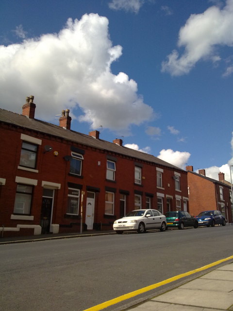
Image: © Steven Haslington Taken: 31 May 2011
Terraced houses on Alexandra Road, in Ashton-under-Lyne, Greater Manchester, England. These red-brick houses are typical of the housing stock of much of Tameside and Greater Manchester.
Images are licensed for reuse under creativecommons.org/licenses/by-sa/2.0
Image Location
Latitude
53.49226
Longitude
-2.094164