Route planning
Introduction
The photograph on this page of Route planning by Richard Croft as part of the Geograph project.
The Geograph project started in 2005 with the aim of publishing, organising and preserving representative images for every square kilometre of Great Britain, Ireland and the Isle of Man.

There are currently over 7.5m images from over 14,400 individuals and you can help contribute to the project by visiting https://www.geograph.org.uk
Route planning
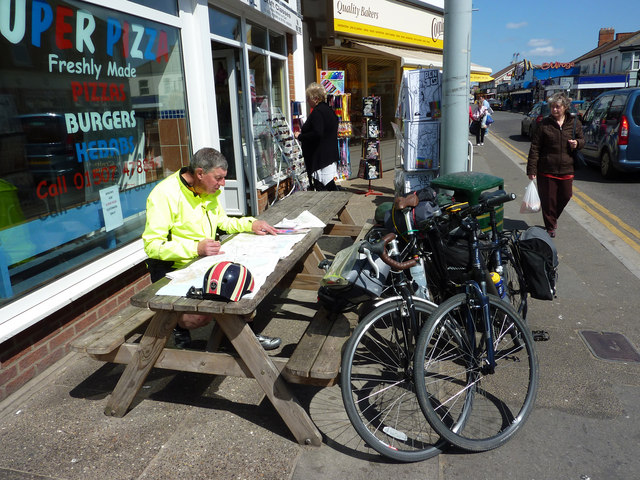
Image: © Richard Croft Taken: 3 May 2011
Geographer and long-distance cyclist Bob Jones grabs a quick lunch in Mablethorpe and consults OS 1:50,000 Landranger maps in planning the rest of the day. Failure of his GPS Satmap system and strong headwinds have forced a rethink of the route.
Images are licensed for reuse under creativecommons.org/licenses/by-sa/2.0
Image Location
Latitude
53.341468
Longitude
0.259838