Country Lanes?
Introduction
The photograph on this page of Country Lanes? by Colin Smith as part of the Geograph project.
The Geograph project started in 2005 with the aim of publishing, organising and preserving representative images for every square kilometre of Great Britain, Ireland and the Isle of Man.

There are currently over 7.5m images from over 14,400 individuals and you can help contribute to the project by visiting https://www.geograph.org.uk
Country Lanes?
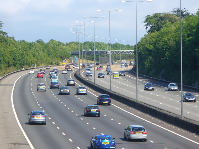
Image: © Colin Smith Taken: 29 May 2011
Four lanes on each carriageway of the M25 passing through the North Downs countryside north of Headley.
Images are licensed for reuse under creativecommons.org/licenses/by-sa/2.0
Image Location
Latitude
51.291557
Longitude
-0.285162