View from Beer Hill
Introduction
The photograph on this page of View from Beer Hill by Derek Harper as part of the Geograph project.
The Geograph project started in 2005 with the aim of publishing, organising and preserving representative images for every square kilometre of Great Britain, Ireland and the Isle of Man.

There are currently over 7.5m images from over 14,400 individuals and you can help contribute to the project by visiting https://www.geograph.org.uk
View from Beer Hill
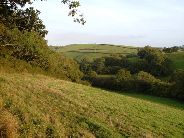
Image: © Derek Harper Taken: 14 Sep 2006
Beer Hill is the name of a byway (behind the hedge on the left) that descends into this valley in the South Hams. The angle of trees on the right marks a sharp bend in Aveton Gifford Bridleway 20a as it climbs towards Lower Heath.
Images are licensed for reuse under creativecommons.org/licenses/by-sa/2.0
Image Location


Leaflet Map data © OpenStreetMap
Latitude
50.333876
Longitude
-3.819548