Slow for Lower Fachwen turnoff
Introduction
The photograph on this page of Slow for Lower Fachwen turnoff by John Firth as part of the Geograph project.
The Geograph project started in 2005 with the aim of publishing, organising and preserving representative images for every square kilometre of Great Britain, Ireland and the Isle of Man.

There are currently over 7.5m images from over 14,400 individuals and you can help contribute to the project by visiting https://www.geograph.org.uk
Slow for Lower Fachwen turnoff
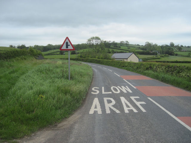
Image: © John Firth Taken: 1 Jun 2011
On B4389 north of Tregynon
Images are licensed for reuse under creativecommons.org/licenses/by-sa/2.0
Image Location
Latitude
52.582866
Longitude
-3.329437