The Derby Arms, Ramsgate (2)
Introduction
The photograph on this page of The Derby Arms, Ramsgate (2) by David Anstiss as part of the Geograph project.
The Geograph project started in 2005 with the aim of publishing, organising and preserving representative images for every square kilometre of Great Britain, Ireland and the Isle of Man.

There are currently over 7.5m images from over 14,400 individuals and you can help contribute to the project by visiting https://www.geograph.org.uk
The Derby Arms, Ramsgate (2)
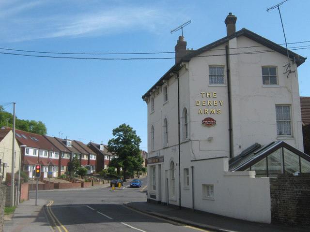
Image: © David Anstiss Taken: 30 May 2011
On the junction of Prince's Road (on the left) and the A254 Margate Road (behind the pub). College Road leads, beyond the lights up the hill towards West Dumpton.
Images are licensed for reuse under creativecommons.org/licenses/by-sa/2.0
Image Location
Latitude
51.342309
Longitude
1.410342