Subway under the railway near Ramsgate
Introduction
The photograph on this page of Subway under the railway near Ramsgate by David Anstiss as part of the Geograph project.
The Geograph project started in 2005 with the aim of publishing, organising and preserving representative images for every square kilometre of Great Britain, Ireland and the Isle of Man.

There are currently over 7.5m images from over 14,400 individuals and you can help contribute to the project by visiting https://www.geograph.org.uk
Subway under the railway near Ramsgate
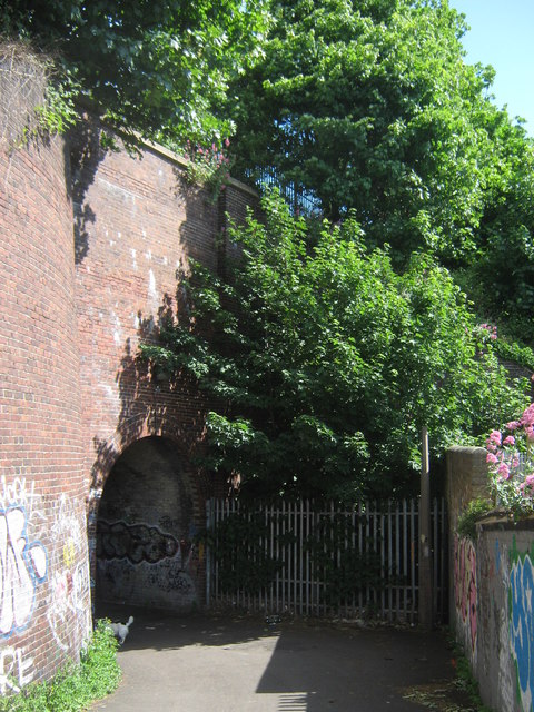
Image: © David Anstiss Taken: 30 May 2011
This subway is part of a footpath leading from Station Approach Road towards the A254 Margate Road. It passes under the railway line between Ramsgate and Margate (via Dumpton Park and Broadstairs).
Images are licensed for reuse under creativecommons.org/licenses/by-sa/2.0
Image Location
Latitude
51.341927
Longitude
1.408015