Table for Four
Introduction
The photograph on this page of Table for Four by Tony Atkin as part of the Geograph project.
The Geograph project started in 2005 with the aim of publishing, organising and preserving representative images for every square kilometre of Great Britain, Ireland and the Isle of Man.

There are currently over 7.5m images from over 14,400 individuals and you can help contribute to the project by visiting https://www.geograph.org.uk
Table for Four
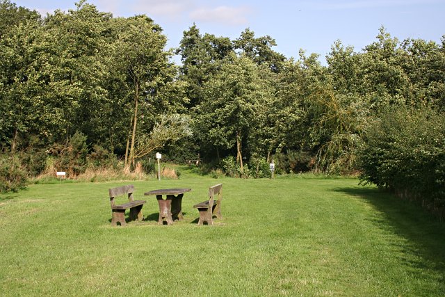
Image: © Tony Atkin Taken: 6 Sep 2006
Picnic area by the side of the stream just to the east of Tetford.
Images are licensed for reuse under creativecommons.org/licenses/by-sa/2.0
Image Location


Leaflet Map data © OpenStreetMap
Latitude
53.250082
Longitude
-0.015552