Field access track above Upper House Farm
Introduction
The photograph on this page of Field access track above Upper House Farm by Jeremy Bolwell as part of the Geograph project.
The Geograph project started in 2005 with the aim of publishing, organising and preserving representative images for every square kilometre of Great Britain, Ireland and the Isle of Man.

There are currently over 7.5m images from over 14,400 individuals and you can help contribute to the project by visiting https://www.geograph.org.uk
Field access track above Upper House Farm
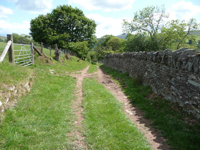
Image: © Jeremy Bolwell Taken: 31 May 2011
This walled and fenced track enables sheep to be driven up onto the moor and of course brought back down too. It also carries part of the Beacons Way long-distance footpath.
Images are licensed for reuse under creativecommons.org/licenses/by-sa/2.0
Image Location
Latitude
51.908447
Longitude
-3.045284