Upper House Farm in the Grwyne Valley
Introduction
The photograph on this page of Upper House Farm in the Grwyne Valley by Jeremy Bolwell as part of the Geograph project.
The Geograph project started in 2005 with the aim of publishing, organising and preserving representative images for every square kilometre of Great Britain, Ireland and the Isle of Man.

There are currently over 7.5m images from over 14,400 individuals and you can help contribute to the project by visiting https://www.geograph.org.uk
Upper House Farm in the Grwyne Valley
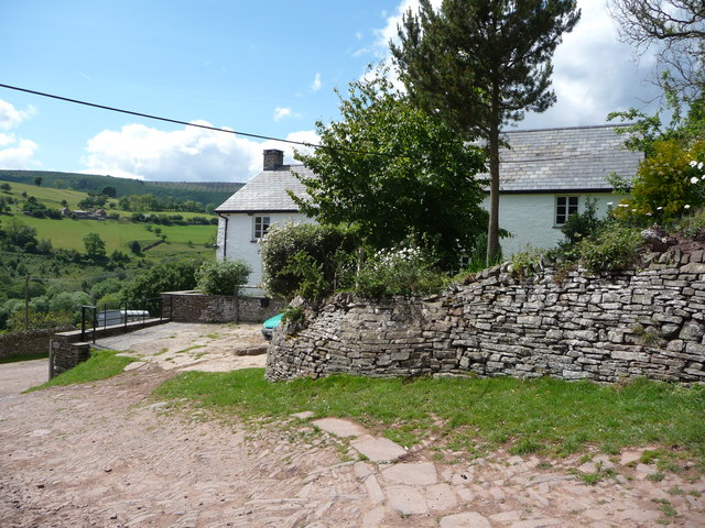
Image: © Jeremy Bolwell Taken: 31 May 2011
A lovely whitewashed farmhouse with old cobbled farmyard and old walling. Lovely spot in summer. But I expect they manage in winter. The farmers of the Black Mountains are nothing if not hardy.
Images are licensed for reuse under creativecommons.org/licenses/by-sa/2.0
Image Location
Latitude
51.9062
Longitude
-3.045232