Dead-end road heading for Glan-rhyd
Introduction
The photograph on this page of Dead-end road heading for Glan-rhyd by Nigel Brown as part of the Geograph project.
The Geograph project started in 2005 with the aim of publishing, organising and preserving representative images for every square kilometre of Great Britain, Ireland and the Isle of Man.

There are currently over 7.5m images from over 14,400 individuals and you can help contribute to the project by visiting https://www.geograph.org.uk
Dead-end road heading for Glan-rhyd
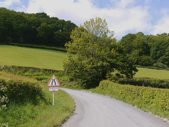
Image: © Nigel Brown Taken: 31 May 2011
Serving upland farms en route.
Images are licensed for reuse under creativecommons.org/licenses/by-sa/2.0
Image Location
Latitude
52.417846
Longitude
-3.560917