The Newry bypass (3)
Introduction
The photograph on this page of The Newry bypass (3) by Albert Bridge as part of the Geograph project.
The Geograph project started in 2005 with the aim of publishing, organising and preserving representative images for every square kilometre of Great Britain, Ireland and the Isle of Man.

There are currently over 7.5m images from over 14,400 individuals and you can help contribute to the project by visiting https://www.geograph.org.uk
The Newry bypass (3)
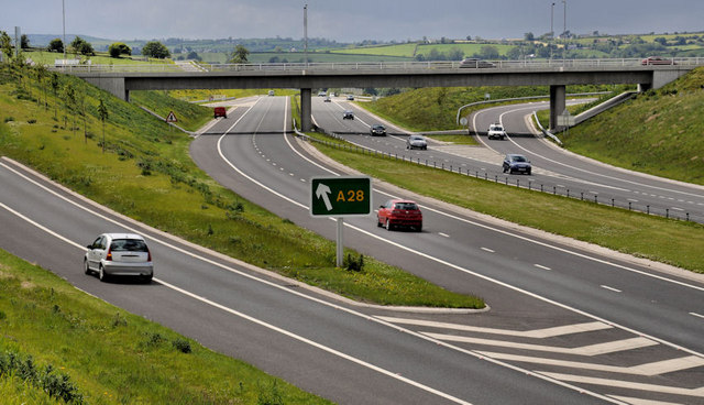
Image: © Albert Bridge Taken: 30 May 2011
The Sheep Bridge junction (looking towards Newry and Dublin) seen from this flyover Image The old Belfast Road into Newry Image, including the Tinker Hill dual carriageway section Image, which was numbered as the A1 (Belfast to the Border) has been re-numbered as the A28 ie as part of the Newry – Armagh road.
Images are licensed for reuse under creativecommons.org/licenses/by-sa/2.0
Image Location
Latitude
54.216956
Longitude
-6.32799