Cranbrook Road
Introduction
The photograph on this page of Cranbrook Road by Colin Bews as part of the Geograph project.
The Geograph project started in 2005 with the aim of publishing, organising and preserving representative images for every square kilometre of Great Britain, Ireland and the Isle of Man.

There are currently over 7.5m images from over 14,400 individuals and you can help contribute to the project by visiting https://www.geograph.org.uk
Cranbrook Road
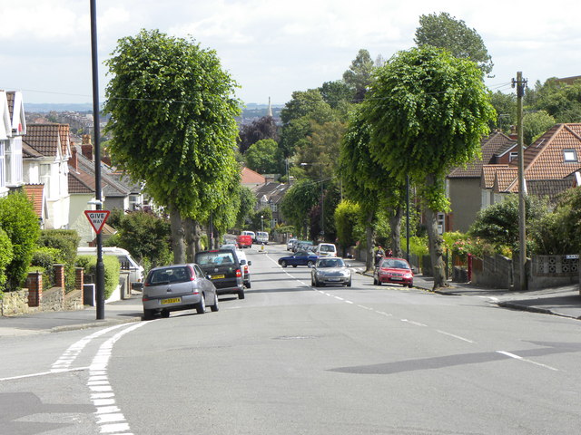
Image: © Colin Bews Taken: 31 May 2011
Taken at the point where Linden Road becomes Cranbrook Road, with Upper Cranbrook Road on the left.
Images are licensed for reuse under creativecommons.org/licenses/by-sa/2.0
Image Location
Latitude
51.476904
Longitude
-2.603555