Entrance to Parc Myrddin, Carmarthen
Introduction
The photograph on this page of Entrance to Parc Myrddin, Carmarthen by Jaggery as part of the Geograph project.
The Geograph project started in 2005 with the aim of publishing, organising and preserving representative images for every square kilometre of Great Britain, Ireland and the Isle of Man.

There are currently over 7.5m images from over 14,400 individuals and you can help contribute to the project by visiting https://www.geograph.org.uk
Entrance to Parc Myrddin, Carmarthen
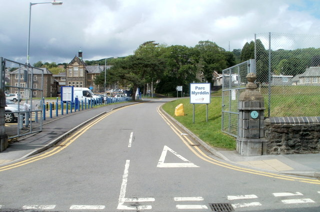
Image: © Jaggery Taken: 30 May 2011
Viewed from near the meeting point of Francis Terrace and Richmond Terrace. A turquoise plaque http://www.geograph.org.uk/photo/2435182 records that the Queen Elizabeth Grammar School for Boys, founded in 1576, was at this site from 1884 to 1978.
Images are licensed for reuse under creativecommons.org/licenses/by-sa/2.0
Image Location
Latitude
51.859555
Longitude
-4.305988