Adams Bottom Park, Leighton Buzzard
Introduction
The photograph on this page of Adams Bottom Park, Leighton Buzzard by Mr Biz as part of the Geograph project.
The Geograph project started in 2005 with the aim of publishing, organising and preserving representative images for every square kilometre of Great Britain, Ireland and the Isle of Man.

There are currently over 7.5m images from over 14,400 individuals and you can help contribute to the project by visiting https://www.geograph.org.uk
Adams Bottom Park, Leighton Buzzard
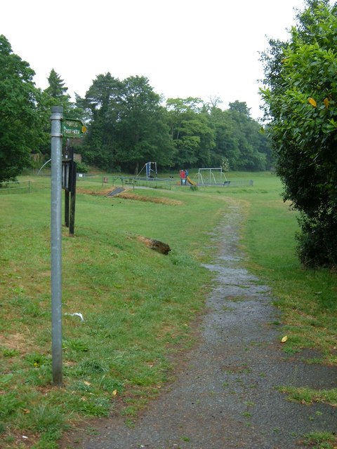
Image: © Mr Biz Taken: 30 May 2011
The beginning of a footpath that takes you onto the Greensand Ridge Walk, Two Ridges Link and the Grand Union Canal Walk.
Images are licensed for reuse under creativecommons.org/licenses/by-sa/2.0
Image Location
Latitude
51.929727
Longitude
-0.658592