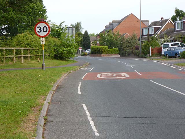
The Selby to York cycle path enters Riccall
Introduction
The photograph on this page of The Selby to York cycle path enters Riccall by Oliver Dixon as part of the Geograph project.
The Geograph project started in 2005 with the aim of publishing, organising and preserving representative images for every square kilometre of Great Britain, Ireland and the Isle of Man.
There are currently over 7.5m images from over 14,400 individuals and you can help contribute to the project by visiting https://www.geograph.org.uk

Image: © Oliver Dixon Taken: 21 May 2011
The Selby to York cycle path follows the level, straight course of the former course of the East Coast Main Line railway. (This railway line was diverted westwards south of Selby in 1983 to avoid disruption from coal mining.) The cycle path is constructed to a high standard, and is much used by enthusiasts, commuters and leisure cyclists alike. It forms part of National Cycle Network, route 65 and is a spur on the Trans-Pennine Trail. To the south of Riccall, the path runs adjacent to the A19; through the village the route follows the roads. North of Riccall, the line cuts across country.

