"Cycle the Solar System"
Introduction
The photograph on this page of "Cycle the Solar System" by Oliver Dixon as part of the Geograph project.
The Geograph project started in 2005 with the aim of publishing, organising and preserving representative images for every square kilometre of Great Britain, Ireland and the Isle of Man.

There are currently over 7.5m images from over 14,400 individuals and you can help contribute to the project by visiting https://www.geograph.org.uk
"Cycle the Solar System"
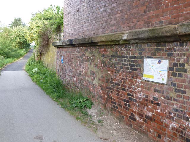
Image: © Oliver Dixon Taken: 21 May 2011
The York to Selby cycle path follows the level, straight course of an old railway. It is constructed to a high standard, and is much used by enthusiasts, commuters and leisure cyclists alike. It forms part of National Cycle Network, route 65 and is a spur on the Trans-Pennine Trail. The path is the site of an interesting demonstration about the size and spacing of bodies in the Solar System. It is easy to be misled not only about the relative sizes of the planets and sun, but more tellingly about the distances between these bodies. As part of a Millennium project, scale models of the sun and the planets at their correct scaled distances were established along the path between the York By-pass and Riccall. The scale is nearly 600 million to 1 so that a cyclist can travel with ease at ten times the speed of light! A notice explaining the project has been affixed to the underside of a bridge near Escrick Grange Farm. For a detailed view of the notice, see Image
Images are licensed for reuse under creativecommons.org/licenses/by-sa/2.0
Image Location
Latitude
53.869929
Longitude
-1.064366