The Moate Road near Comber
Introduction
The photograph on this page of The Moate Road near Comber by Albert Bridge as part of the Geograph project.
The Geograph project started in 2005 with the aim of publishing, organising and preserving representative images for every square kilometre of Great Britain, Ireland and the Isle of Man.

There are currently over 7.5m images from over 14,400 individuals and you can help contribute to the project by visiting https://www.geograph.org.uk
The Moate Road near Comber
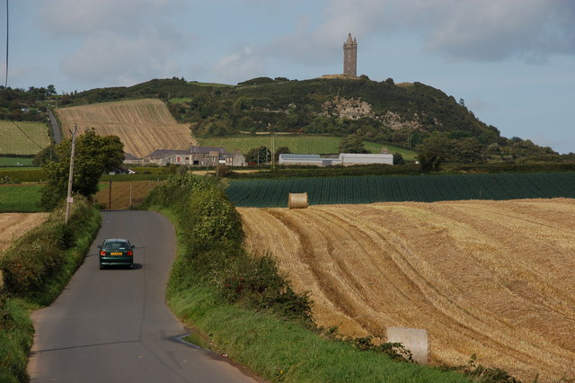
Image: © Albert Bridge Taken: 19 Sep 2006
The Moate Road is an unclassified road running from the Newtownards to Comber road towards the Newtownards-Belfast road. This is the view from near the former with Scrabo Tower on the hill at the top of the photo.
Images are licensed for reuse under creativecommons.org/licenses/by-sa/2.0
Image Location
Latitude
54.561005
Longitude
-5.705097