Southern Bypass
Introduction
The photograph on this page of Southern Bypass by Gordon Griffiths as part of the Geograph project.
The Geograph project started in 2005 with the aim of publishing, organising and preserving representative images for every square kilometre of Great Britain, Ireland and the Isle of Man.

There are currently over 7.5m images from over 14,400 individuals and you can help contribute to the project by visiting https://www.geograph.org.uk
Southern Bypass
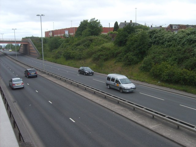
Image: © Gordon Griffiths Taken: 29 May 2011
The view from Porter Street South of the Dudley Southern Bypass, with Hall Street Bridge on the left.
Images are licensed for reuse under creativecommons.org/licenses/by-sa/2.0
Image Location
Latitude
52.509216
Longitude
-2.078193