Sturcombe valley
Introduction
The photograph on this page of Sturcombe valley by Derek Harper as part of the Geograph project.
The Geograph project started in 2005 with the aim of publishing, organising and preserving representative images for every square kilometre of Great Britain, Ireland and the Isle of Man.

There are currently over 7.5m images from over 14,400 individuals and you can help contribute to the project by visiting https://www.geograph.org.uk
Sturcombe valley
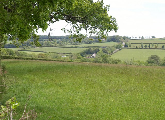
Image: © Derek Harper Taken: 25 May 2011
A view from close to where Image was taken on Batsworthy Hill, looking from beneath an oak in the other direction, with the road to Rackenford crossing the valley at Waterloo Farm, and climbing into Image
Images are licensed for reuse under creativecommons.org/licenses/by-sa/2.0
Image Location


Leaflet Map data © OpenStreetMap
Latitude
50.96748
Longitude
-3.669021