Broadstone Parish Church
Introduction
The photograph on this page of Broadstone Parish Church by Mike Faherty as part of the Geograph project.
The Geograph project started in 2005 with the aim of publishing, organising and preserving representative images for every square kilometre of Great Britain, Ireland and the Isle of Man.

There are currently over 7.5m images from over 14,400 individuals and you can help contribute to the project by visiting https://www.geograph.org.uk
Broadstone Parish Church
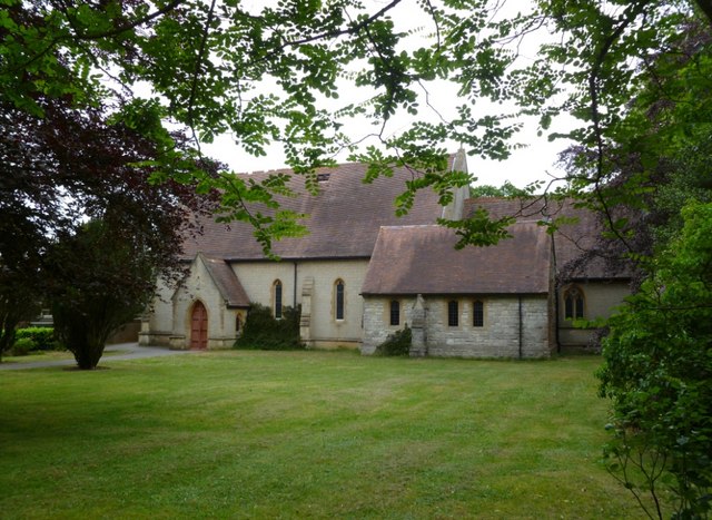
Image: © Mike Faherty Taken: 29 May 2011
The Church of St. John the Baptist, between Dunyeats and Tudor Roads; built 1888. http://www.broadstone.net/stjohns/history.htm
Images are licensed for reuse under creativecommons.org/licenses/by-sa/2.0
Image Location
Latitude
50.761971
Longitude
-1.993568