The Clifton Arms 2011
Introduction
The photograph on this page of The Clifton Arms 2011 by Kurseong Carl as part of the Geograph project.
The Geograph project started in 2005 with the aim of publishing, organising and preserving representative images for every square kilometre of Great Britain, Ireland and the Isle of Man.

There are currently over 7.5m images from over 14,400 individuals and you can help contribute to the project by visiting https://www.geograph.org.uk
The Clifton Arms 2011
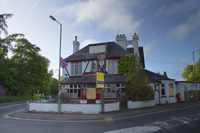
Image: © Kurseong Carl Taken: 29 May 2011
Used to be the soldiers pub of choice when the barracks were located at Caterham-on-the-Hill. Now well past it's best and ripe for re-development.
Images are licensed for reuse under creativecommons.org/licenses/by-sa/2.0
Image Location
Latitude
51.284599
Longitude
-0.096704