The A4095 near Witney
Introduction
The photograph on this page of The A4095 near Witney by Philip Halling as part of the Geograph project.
The Geograph project started in 2005 with the aim of publishing, organising and preserving representative images for every square kilometre of Great Britain, Ireland and the Isle of Man.

There are currently over 7.5m images from over 14,400 individuals and you can help contribute to the project by visiting https://www.geograph.org.uk
The A4095 near Witney
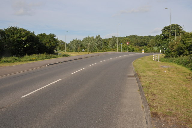
Image: © Philip Halling Taken: 28 May 2011
The A4095 and its junction with the Jubilee Way which bypasses part of Witney.
Images are licensed for reuse under creativecommons.org/licenses/by-sa/2.0
Image Location
Latitude
51.798306
Longitude
-1.461963