Track above Hoptonbank
Introduction
The photograph on this page of Track above Hoptonbank by Jeremy Bolwell as part of the Geograph project.
The Geograph project started in 2005 with the aim of publishing, organising and preserving representative images for every square kilometre of Great Britain, Ireland and the Isle of Man.

There are currently over 7.5m images from over 14,400 individuals and you can help contribute to the project by visiting https://www.geograph.org.uk
Track above Hoptonbank
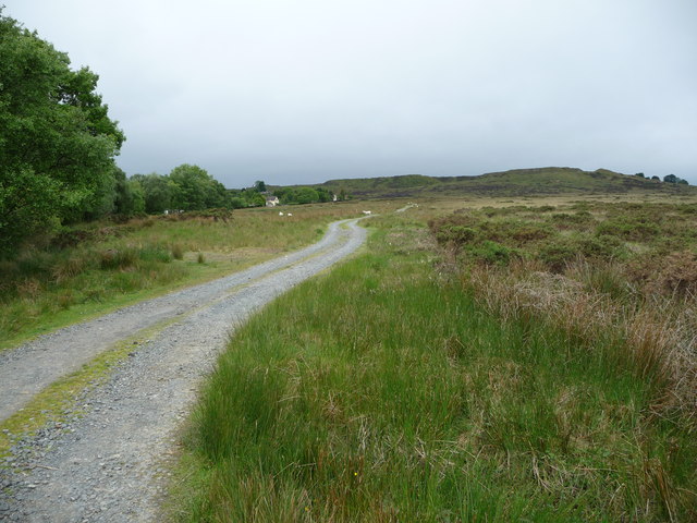
Image: © Jeremy Bolwell Taken: 29 May 2011
This track carries the footpath up towards more open moorland and the post-industrial scars of Clee Hill.
Images are licensed for reuse under creativecommons.org/licenses/by-sa/2.0
Image Location
Latitude
52.394223
Longitude
-2.553392