Footpath from Redpoll Way to Cheyney Close, Gloucester
Introduction
The photograph on this page of Footpath from Redpoll Way to Cheyney Close, Gloucester by Colin Manton as part of the Geograph project.
The Geograph project started in 2005 with the aim of publishing, organising and preserving representative images for every square kilometre of Great Britain, Ireland and the Isle of Man.

There are currently over 7.5m images from over 14,400 individuals and you can help contribute to the project by visiting https://www.geograph.org.uk
Footpath from Redpoll Way to Cheyney Close, Gloucester
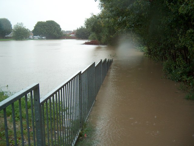
Image: © Colin Manton Taken: 19 Jul 2007
Taken during the flooding in July 2007. The flood waters covered an area larger than a football pitch to a depth of about 6 feet. It is assumed that the adjacent balancing pond and this area were created specifically to deal with a flood of this nature.
Images are licensed for reuse under creativecommons.org/licenses/by-sa/2.0
Image Location
Latitude
51.848515
Longitude
-2.217275