Danesmoor housing estate from footpath to the east
Introduction
The photograph on this page of Danesmoor housing estate from footpath to the east by Andrew Hill as part of the Geograph project.
The Geograph project started in 2005 with the aim of publishing, organising and preserving representative images for every square kilometre of Great Britain, Ireland and the Isle of Man.

There are currently over 7.5m images from over 14,400 individuals and you can help contribute to the project by visiting https://www.geograph.org.uk
Danesmoor housing estate from footpath to the east
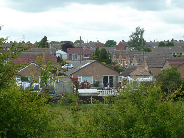
Image: © Andrew Hill Taken: 27 May 2011
View of houses from a path - the view is mainly obscured by tall thick hedges.
Images are licensed for reuse under creativecommons.org/licenses/by-sa/2.0
Image Location
Latitude
53.159553
Longitude
-1.39949