How Now Brown Cow?
Introduction
The photograph on this page of How Now Brown Cow? by Eric Jones as part of the Geograph project.
The Geograph project started in 2005 with the aim of publishing, organising and preserving representative images for every square kilometre of Great Britain, Ireland and the Isle of Man.

There are currently over 7.5m images from over 14,400 individuals and you can help contribute to the project by visiting https://www.geograph.org.uk
How Now Brown Cow?
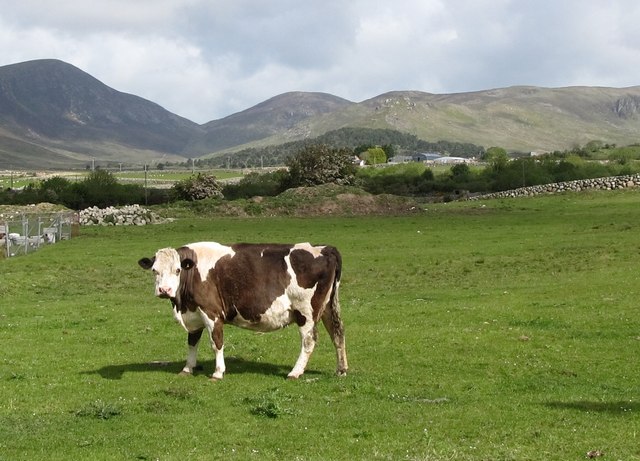
Image: © Eric Jones Taken: 28 May 2011
A cow on land next to the construction site of a residential estate. The col in the background between Eagle Mountain and Slievemoughanmore is known as the Windy Gap.
Images are licensed for reuse under creativecommons.org/licenses/by-sa/2.0
Image Location
Latitude
54.107045
Longitude
-6.051681