The centre of the village of Atticall
Introduction
The photograph on this page of The centre of the village of Atticall by Eric Jones as part of the Geograph project.
The Geograph project started in 2005 with the aim of publishing, organising and preserving representative images for every square kilometre of Great Britain, Ireland and the Isle of Man.

There are currently over 7.5m images from over 14,400 individuals and you can help contribute to the project by visiting https://www.geograph.org.uk
The centre of the village of Atticall
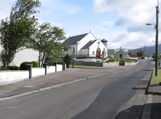
Image: © Eric Jones Taken: 28 May 2011
This a view along Tullyframe Road past the village's church and post office. The name Atticall comes from the Irish Ait Ti Chathail meaning "Cathal's dwelling place"
Images are licensed for reuse under creativecommons.org/licenses/by-sa/2.0
Image Location
Latitude
54.108906
Longitude
-6.04456