Robertson Street roofs
Introduction
The photograph on this page of Robertson Street roofs by Oast House Archive as part of the Geograph project.
The Geograph project started in 2005 with the aim of publishing, organising and preserving representative images for every square kilometre of Great Britain, Ireland and the Isle of Man.

There are currently over 7.5m images from over 14,400 individuals and you can help contribute to the project by visiting https://www.geograph.org.uk
Robertson Street roofs
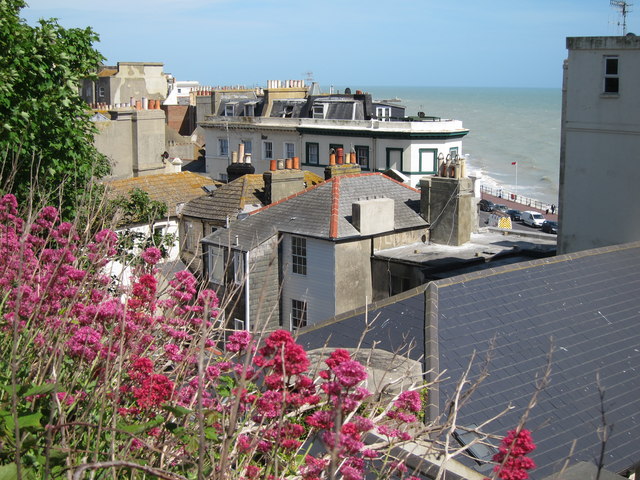
Image: © Oast House Archive Taken: 23 May 2011
Looking from St Michael's Place across to a terrace of shops on Robertson Street, by the junction with White Rock. The sea front A259 road is just seen between the buildings.
Images are licensed for reuse under creativecommons.org/licenses/by-sa/2.0
Image Location
Latitude
50.854493
Longitude
0.575986